
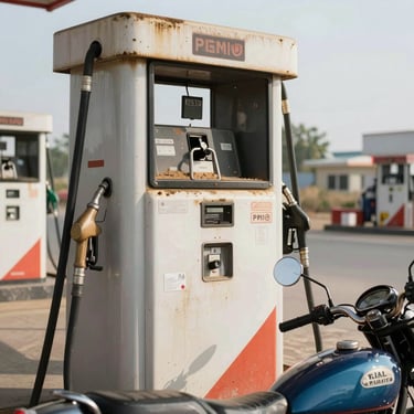
653 km of coast. Every fuel stop documented.
Predominantly tarmac, intermediate grade, fully logistics-planned. We ride this route every season and know where the rough crossings are, where fuel runs thin, and which fishing harbours are worth the detour.

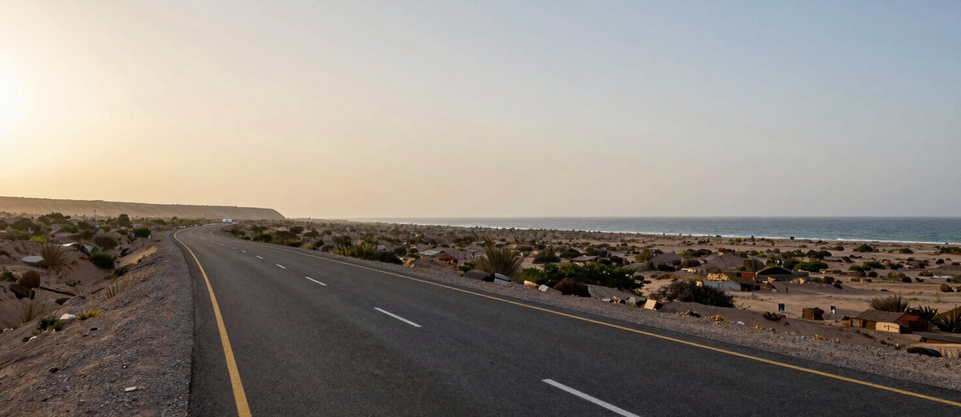
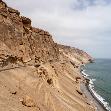
Tarmac, gravel crossings, and the sea on your left
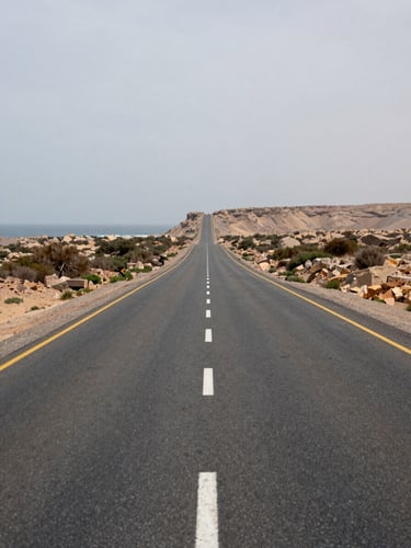
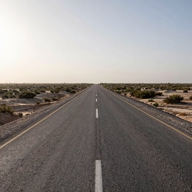
The highway runs 653 km from Karachi to Gwadar through largely uninhabited Balochistan coast. Surface is predominantly sealed tarmac; defined gravel crossings at four river outflows add technical variation without requiring off-road capability.
Grade is intermediate — suitable for mid-displacement touring bikes. Fuel points and rest stops are mapped at every viable interval; no section requires more than 180 km between fills.
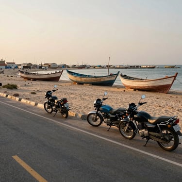
Fishing villages, cliff formations at Buzi Pass, and the boat harbour at Ormara are worked into the daily route plan — not optional add-ons scheduled around the riding.

What the road actually looks like
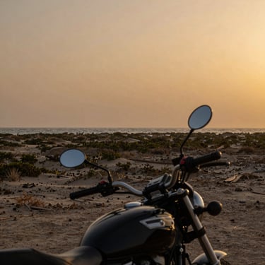
The route is mapped. The seat is yours to claim.
Group sizes are small and departures fill. Send an enquiry with your preferred window and riding experience — we'll confirm availability and send the full route pack.